Environmental Health Indicators (EHI) Map
The
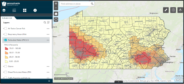
Environmental Health Indicators (EHI) Map displays environmental, social demographic, and public health data. Environmental Justice (EJ) concerns are a guiding force behind the map. Map features, referred to as environmental health indicators, were selected to show where manufacturing, extraction, waste, transportation, and other infrastructure is located, who resides in those areas, and how healthy those residents are.
The map strives to make environmental health data publicly available. It brings together information from the Pennsylvania Department of Health, the Pennsylvania Department of Environmental Protection, and several federal agencies including the U.S. Environmental Protection Agency.
The map can be used to make better public health decisions and design evidence-based interventions. Information about the data used is available in the
technical guidance document. The map tool document provides guidance on how to use various tools built into the EHI map.
The Environmental Health Indicators map is a joint project of the Environmental Health Capacity Program and Environmental Public Health Tracking Program, both funded by the Centers for Disease Control and Prevention, National Center for Environmental Health. For questions or additional information, please contact us at dehe@pa.gov or 717-787-3350.